
Sale!

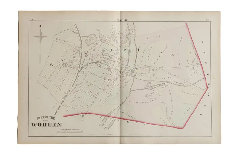
Antique Woburn Massachusetts Atlas Map Plate H

Original price was: $85.00.Current price is: $59.50.

SKU: 5595 Category:

๐Ÿ“ -- people have viewed this product recently

๐Ÿšš Estimated Delivery: Nov 08 - Nov 13

๐Ÿ“ฆ Shipping Policy: Free on orders over $30

๐Ÿ›ก๏ธ 30-Day Returns: Free return shipping, no restocking fees

โœ‰๏ธ Customer Support: Dedicated 24/7 assistance

๐Ÿ”’ Guaranteed Safe Checkout

Guaranteed Safe Checkout

:: Antique G.M. Hopkins & Co. 1875 map of part of the town of Woburn, M.A. (Plate H). Map mainly focuses on East Woburn and features the Boston Lowell and Nashua Rail Road. Neighboring areas marked on the perimeter of the map by name only, andย include Winchester and Stoneham. Map also includes the various landowners’ names and property lines.ย Approximate size measures 17″ x 26″.

Item ID: 5595

Reviews

There are no reviews yet.

Be the first to review “Antique Woburn Massachusetts Atlas Map Plate H”

Your email address will not be published. Required fields are marked *

Shopping Cart
Scroll to Top