
Sale!

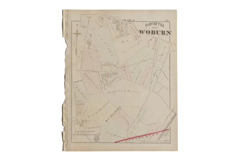
Antique Woburn Massachusetts Atlas Map Plate G

Original price was: $85.00.Current price is: $59.50.

SKU: 5594 Category:

📍 -- people have viewed this product recently

🚚 Estimated Delivery: Nov 07 - Nov 12

📦 Shipping Policy: Free on orders over $30

🛡️ 30-Day Returns: Free return shipping, no restocking fees

✉️ Customer Support: Dedicated 24/7 assistance

🔒 Guaranteed Safe Checkout

Guaranteed Safe Checkout

:: Antique G.M. Hopkins & Co. 1875 map of part of the town of Woburn, M.A. (Plate G). Of note are Mt. Pleasant, the S.O. Pollard & Co. Tannery, Dell Pond, and part of the B.L. and N. Rail Road. Map also includes the various landowners’ names and property lines. Approximate size measures 14″ x 17″.

Item ID: 5594

Reviews

There are no reviews yet.

Be the first to review “Antique Woburn Massachusetts Atlas Map Plate G”

Your email address will not be published. Required fields are marked *

Shopping Cart
Scroll to Top