
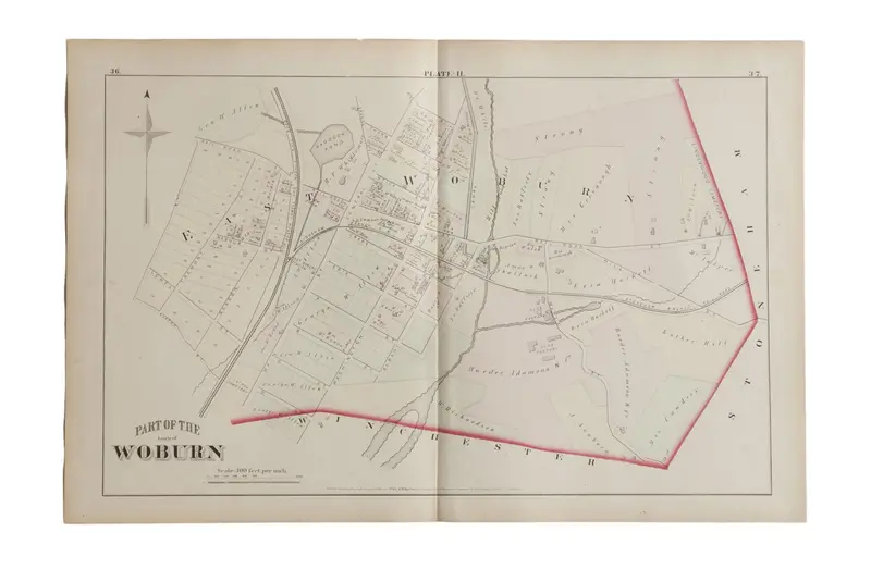

:: Antique G.M. Hopkins & Co. 1875 map of part of the town of Woburn, M.A. (Plate H). Map mainly focuses on East Woburn and features the Boston Lowell and Nashua Rail Road. Neighboring areas marked on the perimeter of the map by name only, and include Winchester and Stoneham. Map also includes the various landowners’ names and property lines. Approximate size measures 17″ x 26″.
Item ID: 5595

Reviews
There are no reviews yet.