
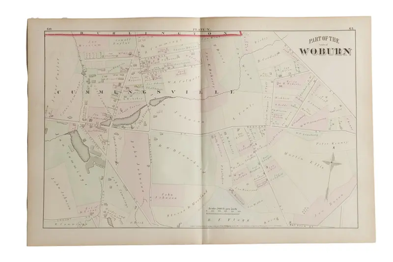

:: Antique G.M. Hopkins & Co. 1875 map of part of the town of Woburn, M.A. (Plate N). Map includes Cummingsville, the Tannery, main roads such as Bedford Street and Willow St, and land owners’ names. Approximate size measures 17″ x 26″.
Item ID: 5601



Reviews
There are no reviews yet.